So, the rumors were true. There is a 4 mile bridge on the trail and getting there was the hardest hike of my adult life. Mile 3 to mile 4 was all uphill. I once walked up one of the steepest graded roads in all of Pennsylvania, Eichele Road in Montgomery county is really steep. It’s something like a 26 percent grade for a quarter mile. Cars have trouble with that hill. Mile 3 to mile 4 on the Headwaters trail was much, much steeper and it was a full mile up.
When I arrived at the bridge, I took these pictures:
 Right before me in this picture is the ravine that the 4 mile bridge crosses. It’s just around the corner to the right.
 Yes! Made it! The 4 mile marker was easy to miss sitting inside an old burned out redwood trunk. Hey dad, does the walking stick look familar? Its the one you made and gave me many years ago. It’s still going strong.
 A little underwhelming, right?
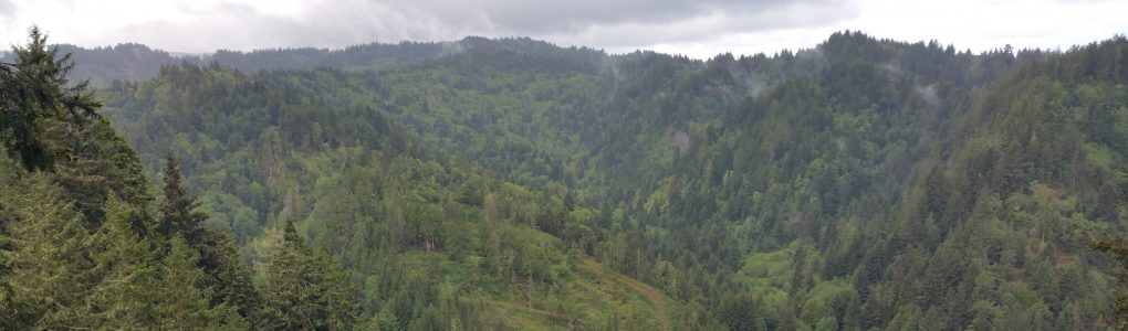
 Very underwhelming. I laughed out loud at the site of it. But the view from the bridge, down the ravine was epic.
 And here is the view up the ravine:
 Ferns everywhere.
 And there is the trail, heading into the woods, and still going UP! It’s 11 miles to the end and then 11 miles back out. Definitely going to be a challenge but I will go to the end someday and document the trip here.
Going to have to train for that hike.